

Announcements
Announcements
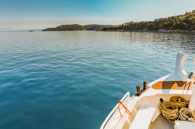
Freshwater is one key component of the resource dependency of urban areas, linking concentrated population centers to geophysical and ecosystem processes operating at regional and global scales.
Resources like water, food, biofuels, fibers or energy that sustain cities directly depend on the productive or assimilative capacities of the hydrological system, operating at multiple nested scales (from catchment to river basins) – areas orders of magnitude greater than the extent of the built-up urban areas.
Although the freshwater systems-urban population relationship has a broad regional and sectorial scope, the quantification of the extent of regional and global impacts of city resource demands – and more importantly their integration into decision-support frameworks – continues to be overlooked in water management and urban planning practice. A key limitation of understanding the scope of impacts of urban systems is the characterization of the distributed and non-linear nature of the regional relationship of water and cities, wherein a given region can simultaneously supply resources to – or be affected by – multiple urban areas (and vice versa) and the heterogeneity of physical and biotic processes of freshwater systems.
We introduce a novel approach here to assess and visualize the interactions between urban resource demands and the freshwater system. We propose a set of indicators that make use of freshwater drainage structures to incorporate the cumulative effects and concurrent resource dependency of urban areas across multiple nested scales. The cumulative character of the proposed indexes aims to replace the fixed control boundary (i.e. basin, sub-basin and current practice in water resources appraisals) with the (topological) integral of the process across the multiple nested scales present in a river basin. This approach allows for:
Initiative / Our work aims to transform current decision making around access to water, the greatest risk to global prosperity, and addressing the SDGs.
Other publication / This collection of work by Malin Falkenmark is intended to inspire students and professionals to continue to advance integrated water research.
Initiative / Our work aims to transform current decision making around access to water, the greatest risk to global prosperity, and addressing the SDGs.
Design and development by Soapbox.